
Changing landscapes
Landscapes and connections
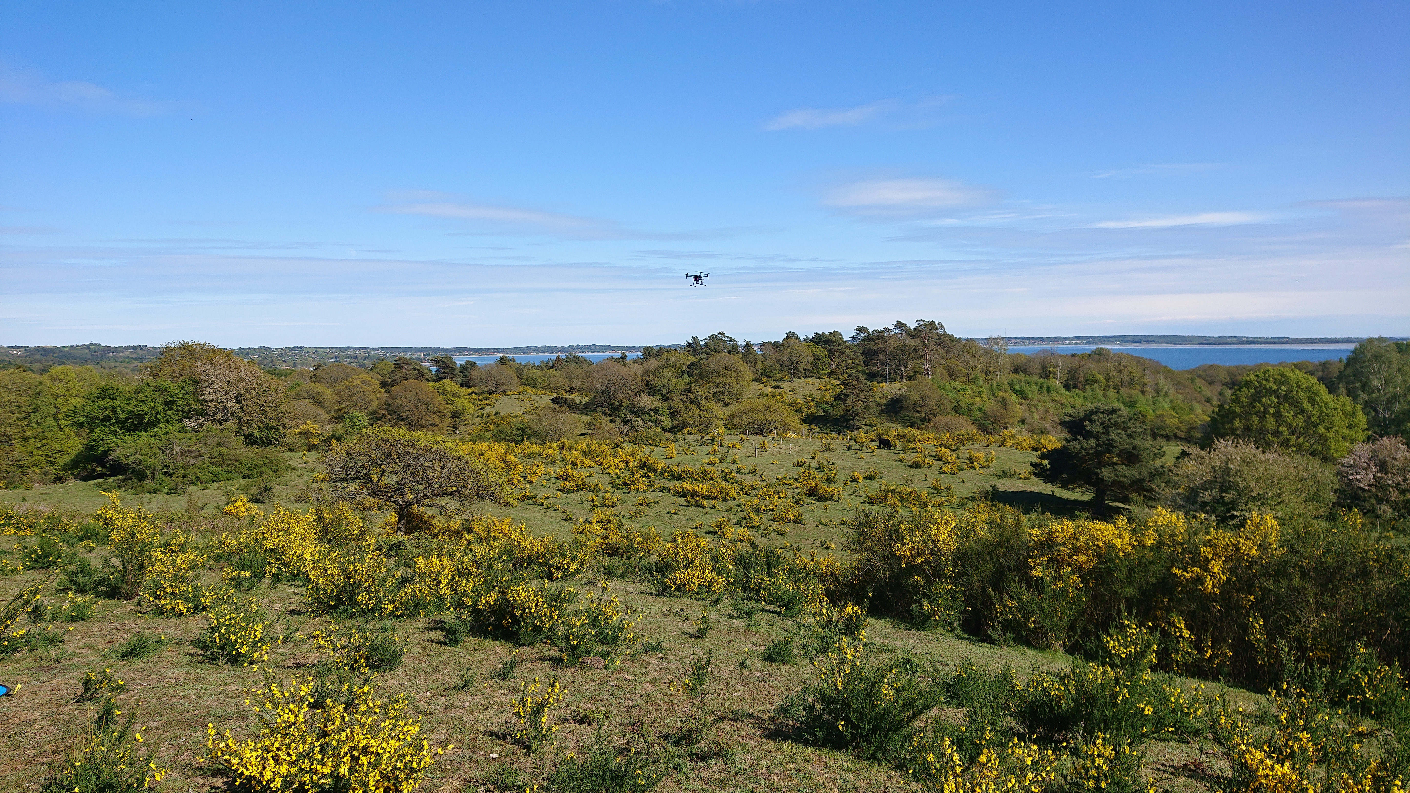
Open areas, scrub, woodland, wet depressions and other features form spatial patterns across a landscape. Field observations and repeated mapping can reveal where structures are changing and how those changes connect across areas.
Potential contributions
Drone, satellite and GIS data can be linked to field records to describe features such as vegetation height, openness and encroachment. Resolution, timing and field checks affect which patterns can be interpreted as ecological change.
Relevant experience
Experience in designing integrated landscape monitoring across spatial and temporal scales and ecological gradients. The work has linked field observations with GIS, drone and remote-sensing data, covering vegetation, functional traits and environmental parameters across different parts of the ecosystem. A central focus has been on statistically robust and practically feasible designs that can be repeated over long periods while accommodating new methods and unforeseen ecological change.
- habitat mosaics
- connectivity
- heterogeneity
- fragmentation
- landscape dynamics